Artec 3D
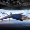
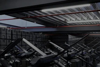
Artec 3D (Santa Clara, CA) introduced Artec Jet for precision data capture at scale. The Artec Jet is designed for high-speed, survey-grade 3D mapping in complex or GPS-denied environments and can be used in AEC, mining, defense, oil & gas, industrial plants and civil infrastructure.
The Artec Jet provides a powerful SLAM-based LiDAR scanning and autonomous navigation solution for creating accurate digital twins of entire sites or large-scale assets using industry-standard .LAS, .LAZ, .PLY, .DXF and .E57 data formats.
 Artec 3D
Features:
- Combines high-density LiDAR sensors with SLAM algorithms to achieve accuracy of ±10 mm indoors and underground, with ability to detect minute structural changes of 5 mm
- When deployed on drone, system independently plans flight paths and avoids obstacles as small as 2 mm wires
- Seven deployment modes, including handheld, backpack, drone, vehicle mount, protective cage, telescopic pole and robotic integration, allowing one device to replace entire fleet of specialized equipment
- Built with an IP65 rating for dust and water protection
- Operates in temperatures from -10°C to 45°C and weighs 1.57 kg
- Accompanied by purpose-built processing platform that handles massive point clouds
- Suitable for underground mining, volumetric measurement, change detection and high-security infrastructure inspection
For more information, visit Artec 3D's website.